|
Mount Pleasant Maps - Charleston
South Carolina
HOME
DOWNTOWN CHARLESTON
MOUNT
PLEASANT SULLIVAN'S ISLAND
DANIEL ISLAND
JAMES ISLAND
WATERFRONT JOHNS ISLAND WEST ASHLEY CHARLESTON AGENTS CHARLESTON RELOCATION
Much of the greater Mount Pleasant area is
geographically divided from downtown Charleston by the natural waterway boundaries of the Cooper River. Some of the landmarks that Mount Pleasant boasts of are the Ravenel Bridge, Patriots Point (home to the famed Yorktown), Boone Hall Plantation, Pitt Street Bridge, Palmetto County Park and Memorial Waterfront Park.
If you would like to receive our free relocation E-Guide to the area, please fill out the form on the contact page and 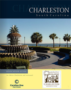 choose"Yes" to receive the guide. This guide touches on the varied lifestyles and communities that comprise Charleston. It also provides information on business facts, medical facilties, cost of living comparisons and top area employers. In additon, there is a newcomers index with numbers with everything from voter registration information to utilities and taxes. choose"Yes" to receive the guide. This guide touches on the varied lifestyles and communities that comprise Charleston. It also provides information on business facts, medical facilties, cost of living comparisons and top area employers. In additon, there is a newcomers index with numbers with everything from voter registration information to utilities and taxes.
Search for Charleston Real Estate via Charleston Area MLS Search
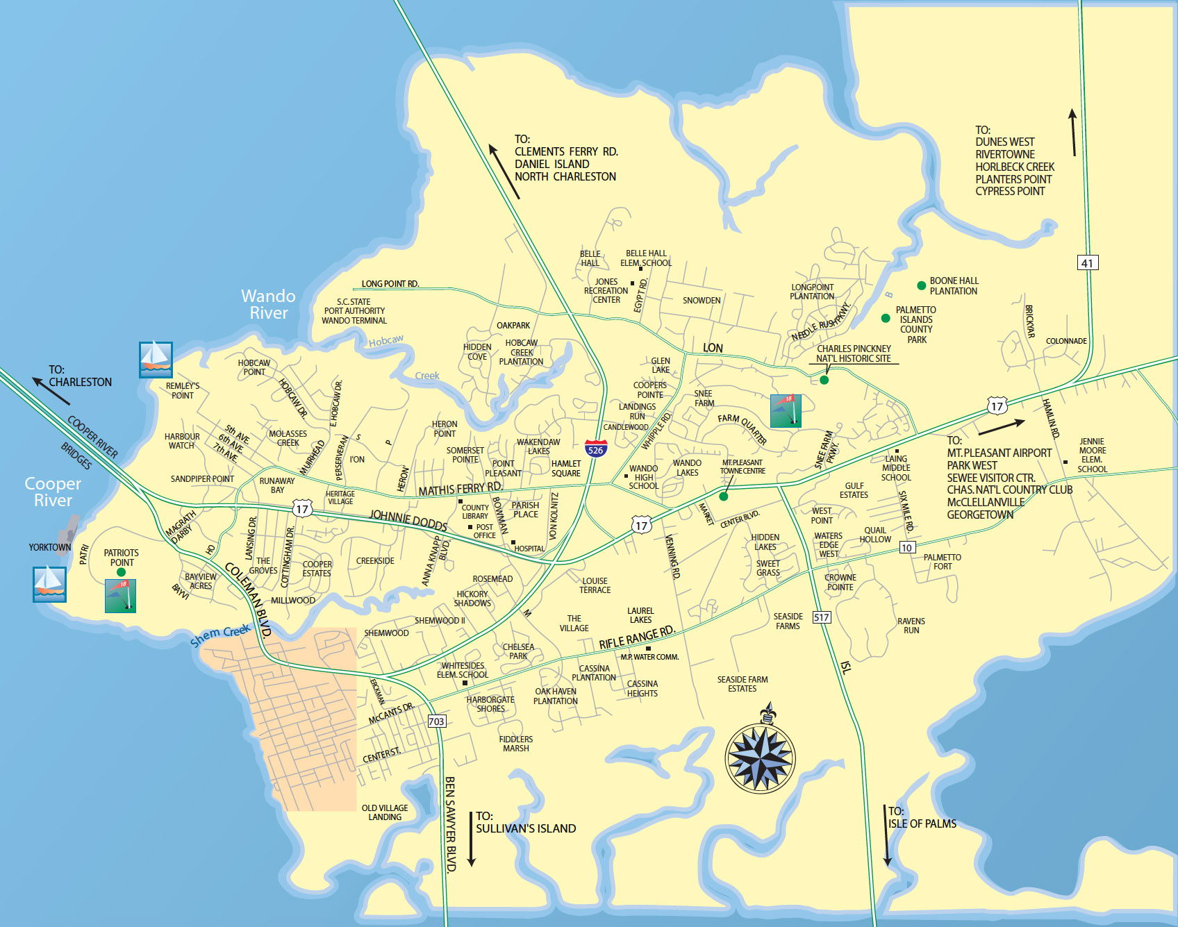 |
Mount Pleasant neighborhoods and main streets ...
|
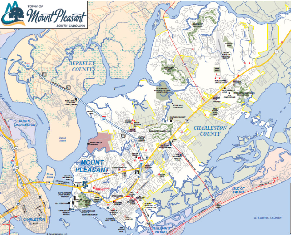 |
Mount Pleasant landmark street maps ... (large file)
|
Downtown Charleston Maps
Greater Charleston Maps
Courtesy of the Charleston Visitors Bureau and the City of Charleston GIS
|
